Chronicle
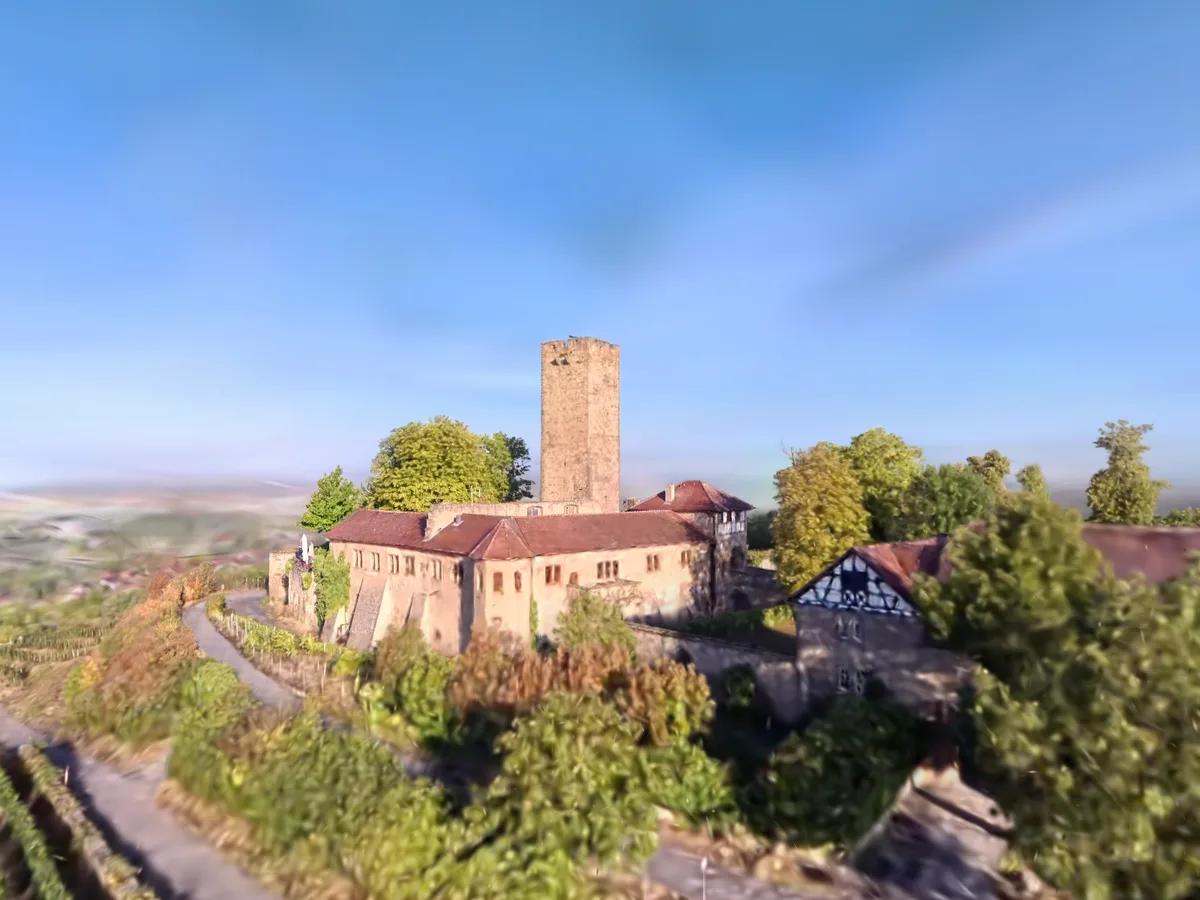
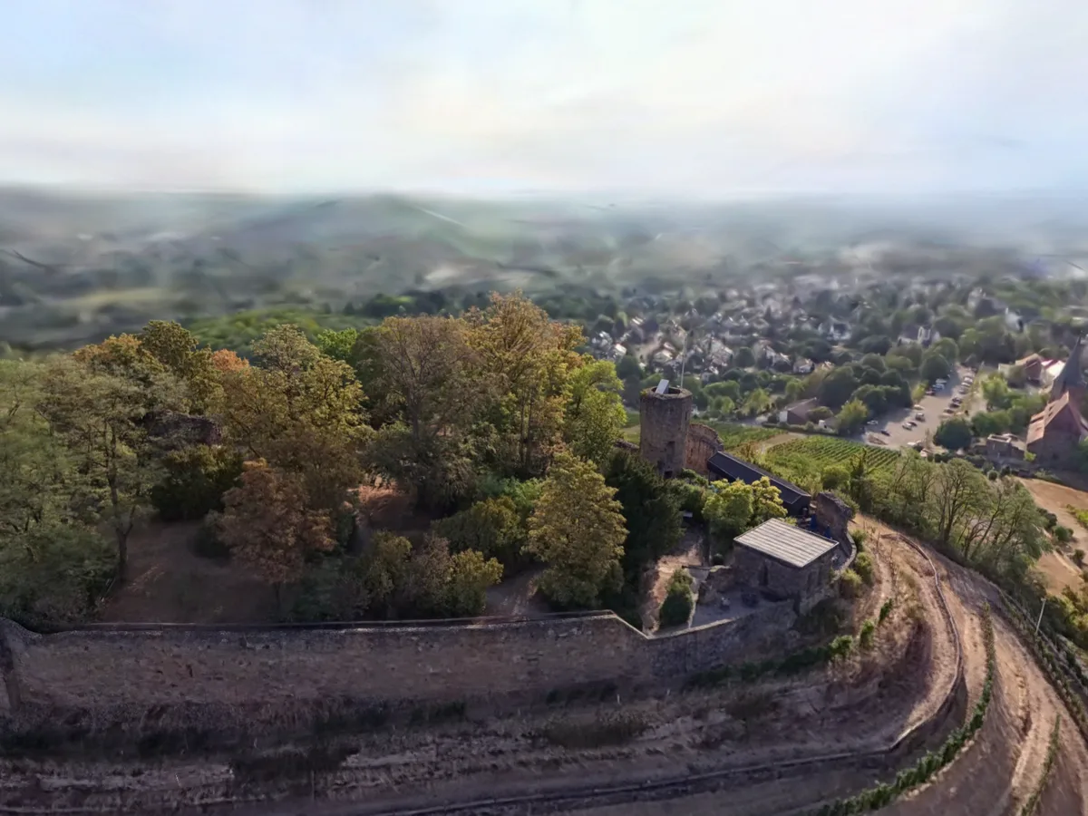
Steinsberg Castle sits on a 333 m cone above Sinsheim-Weiler in the Kraichgau, its south slope still under vines. Visible from far off, it has carried the nickname “compass of the Kraichgau” since the time of the Peasants’ Wars. An Eberhard von Steinsberg is attested for 1109, which counts as the first mention.
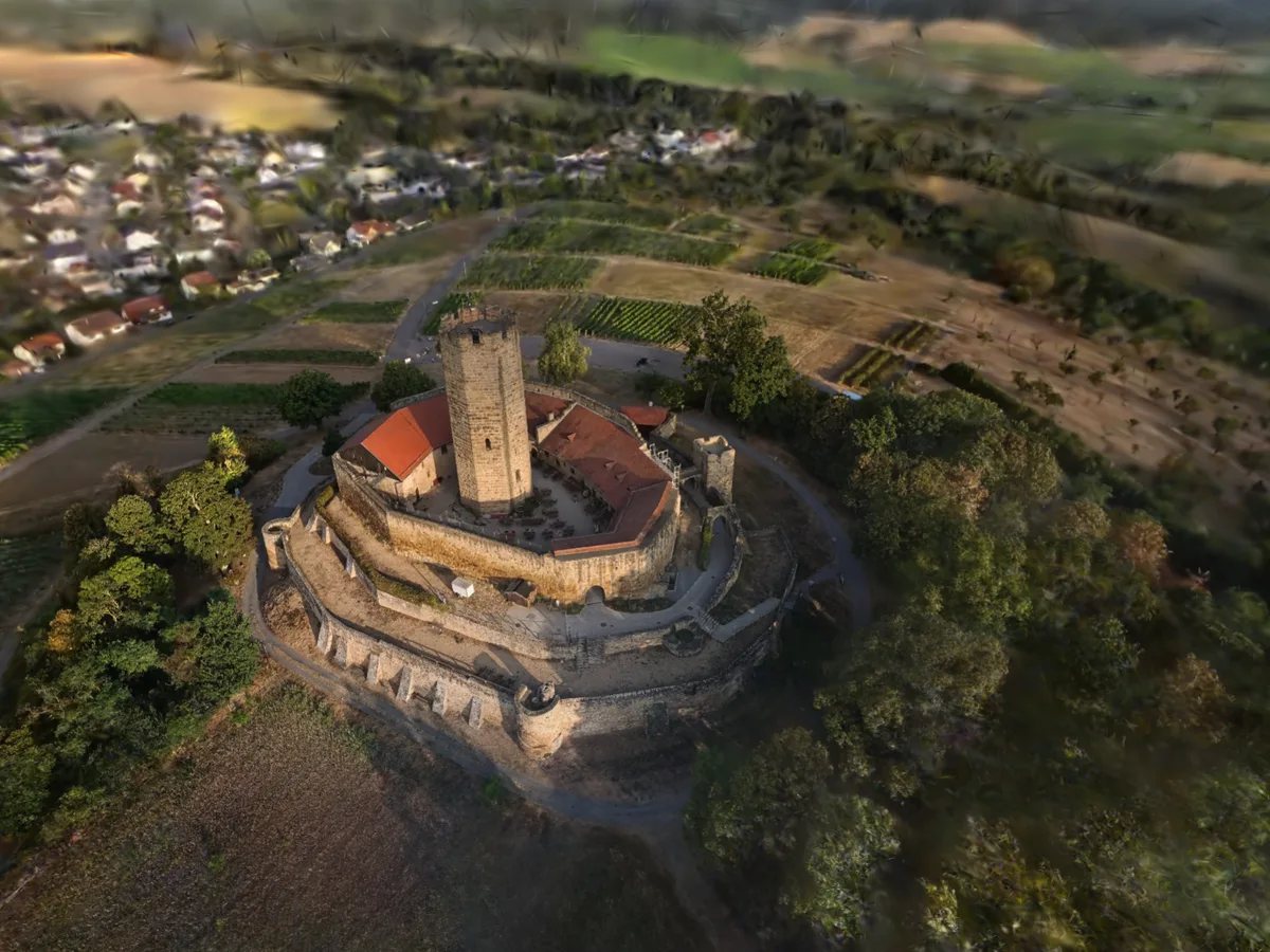
The octagonal keep is a rare form in Germany. Some 30 m tall, built of bossed ashlar in Keuper sandstone, it only went up from around 1220 under the counts of Oettingen — a good century after that first mention. The castle was plundered and burnt in the Peasants’ War of 1525 and rebuilt; the real decay began when the roofs were taken off in 1779. It has belonged to the town of Sinsheim since 1972.
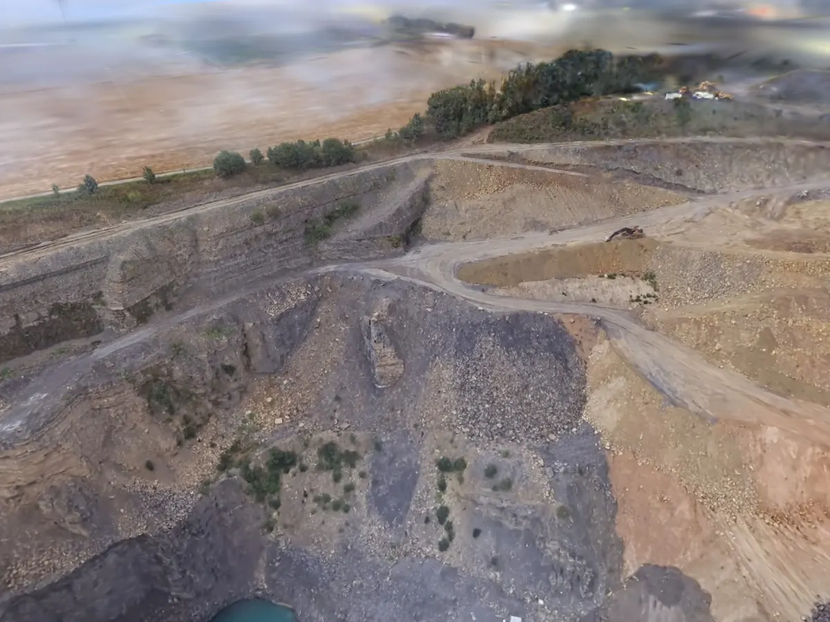
The building material probably came from next door. The quarry the stone is said to have been cut from lies at 49.215461, 8.867206 — 0.75 km west of the keep as the crow flies, well under an hour’s haul by ox cart. That is not documented here: the Wikipedia article on the castle names no source quarry. Not to be confused with Ittlingen Quarry (SL-001), which is 6.1 km away, yields shell limestone rather than sandstone, and is still working today.
The keep can be climbed during opening hours, with a viewing platform at the top since late 2015. There is no admission charge; a voluntary donation is invited. The view from up there runs far across the Kraichgau — the same reason the castle was put here. A restaurant occupies the range building, and its tables in the courtyard are visible in the scan.