Chronicle
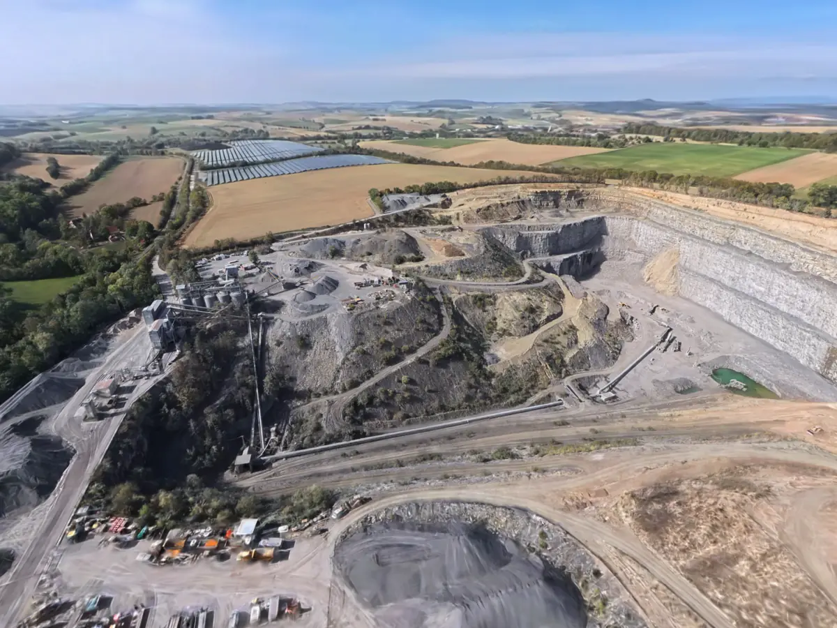
North-west of Gemmingen, at the foot of the 253 m Heiligenberg, lies an extensive quarry in the Upper Muschelkalk. It is run as the aggregate works of Klaus Reimold GmbH, and it is working: the rock is blasted, reduced to the required grain size in a crusher and processed into crushed stone and aggregate mixes; Muschelkalk blocks are also won by hand. Since when stone has been quarried here is not documented here.
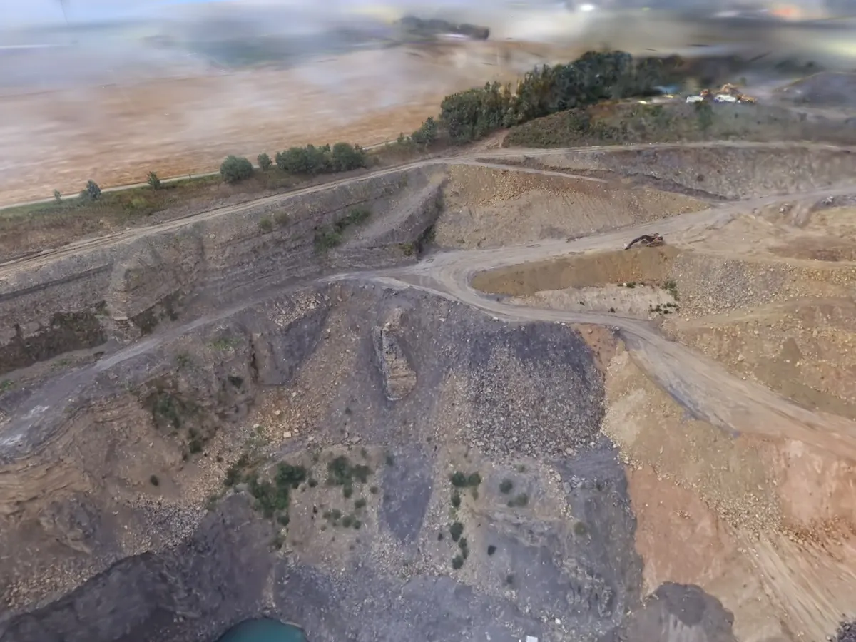
According to the state’s gazetteer, the faces run from the blue limestones of the Trochitenkalk far up into the Lower Keuper, which has to be stripped away as overburden above the Muschelkalk; sandstone beds of the Lettenkeuper, grey marls and Lingula dolomites are exposed as well. The Muschelkalk formed about 243 to 235 million years ago, from lime mud on the floor of a shallow sea that then covered the Germanic Basin. The Trochitenkalk is named after trochites, the fossilised stem segments of sea lilies. In the scan the limestone is pale grey and horizontally bedded, the top of the face more yellowish; whether that layer is the Lower Keuper cannot be decided from the image.
The same layers also yield water in Gemmingen. Three boreholes bring up mineral water from different depths: the Heiligenquelle draws its only lightly mineralised water from 30 m down in the Lower Keuper — the layer that is overburden in the quarry. The Gemmingen spring and the Wüteria spring come from 140 and 148 m down in the Middle and Upper Muschelkalk and are much more strongly mineralised.
A quarry has an end that can be planned. The regional plan reserves 8 ha of extension area to the north for securing raw materials; together with the remaining reserves, that was enough for about 12 to 15 years of extraction as of 2022. For the time after that, the company announced it would have quarrying to the west examined geologically. Archaeological monuments lie there, the deserted village of Zimmern and an Urnfield-period settlement, and the municipality was planning a solar park in the same place, from which some 18 ha were left out for the quarry. In March 2025 the Heilbronner Stimme reported that Klaus Reimold GmbH wanted to extend the quarry. In the scan a solar park stands beyond the pit; whether it is the one planned back then is not documented here.
3.3 km to the north as the crow flies lies the Ittlingen quarry (SL-001), where Muschelkalk is also quarried. As there, the same holds here: the capture of 4 October 2026 shows a working state, not a final one — the stepped face, the green pond on the floor, the conveyor leading out of the pit, the silos and stockpiles of the processing plant. The next blast will already change it.
Sources
- Steinbruch Gemmingen — Szene auf superspl.at ↗
- Gemmingen — LEO-BW, Ortslexikon, Abschnitt zu Steinbruch und Mineralquellen ↗
- Steinbruch Gemmingen — Amtsblatt Gemmingen Nr. 44 vom 3. November 2022, Beschlüsse aus der Gemeinderatssitzung vom 27. Oktober 2022 ↗
- Steinbruch Gemmingen — Schotterwerk der Klaus Reimold GmbH ↗
- Steinbruch Gemmingen — Heilbronner Stimme, 19. März 2025, „Klaus Reimold GmbH will Steinbruch in Gemmingen erweitern" ↗
- Muschelkalk — Wikipedia (deutsch) ↗